


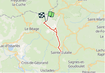

8.6 km | 11.9 km-effort


User


FREE GPS app for hiking
 SityTrail
IGN / Geographical institutes
SityTrail World
The world is yours!
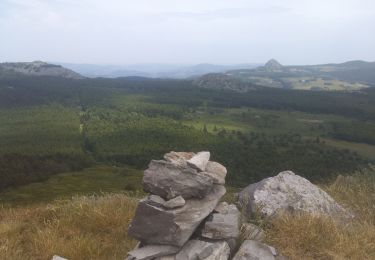
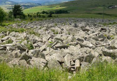
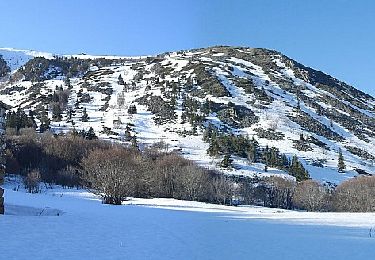
Trail Other activity of 17.3 km to be discovered at Auvergne-Rhône-Alpes, Ardèche, Le Béage. This trail is proposed by fsald.
Ballade entre Valories et St Eulalie en passant par le Fenadou résidence secondaire de Flo et jean Louis. Petites pause chez Violettes à St Eulalie.
La glace et Violettes sont délicieuses
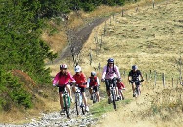
Mountain bike
Mountain bike
Walking
Walking
Walking

Walking
Walking
Walking
Walking